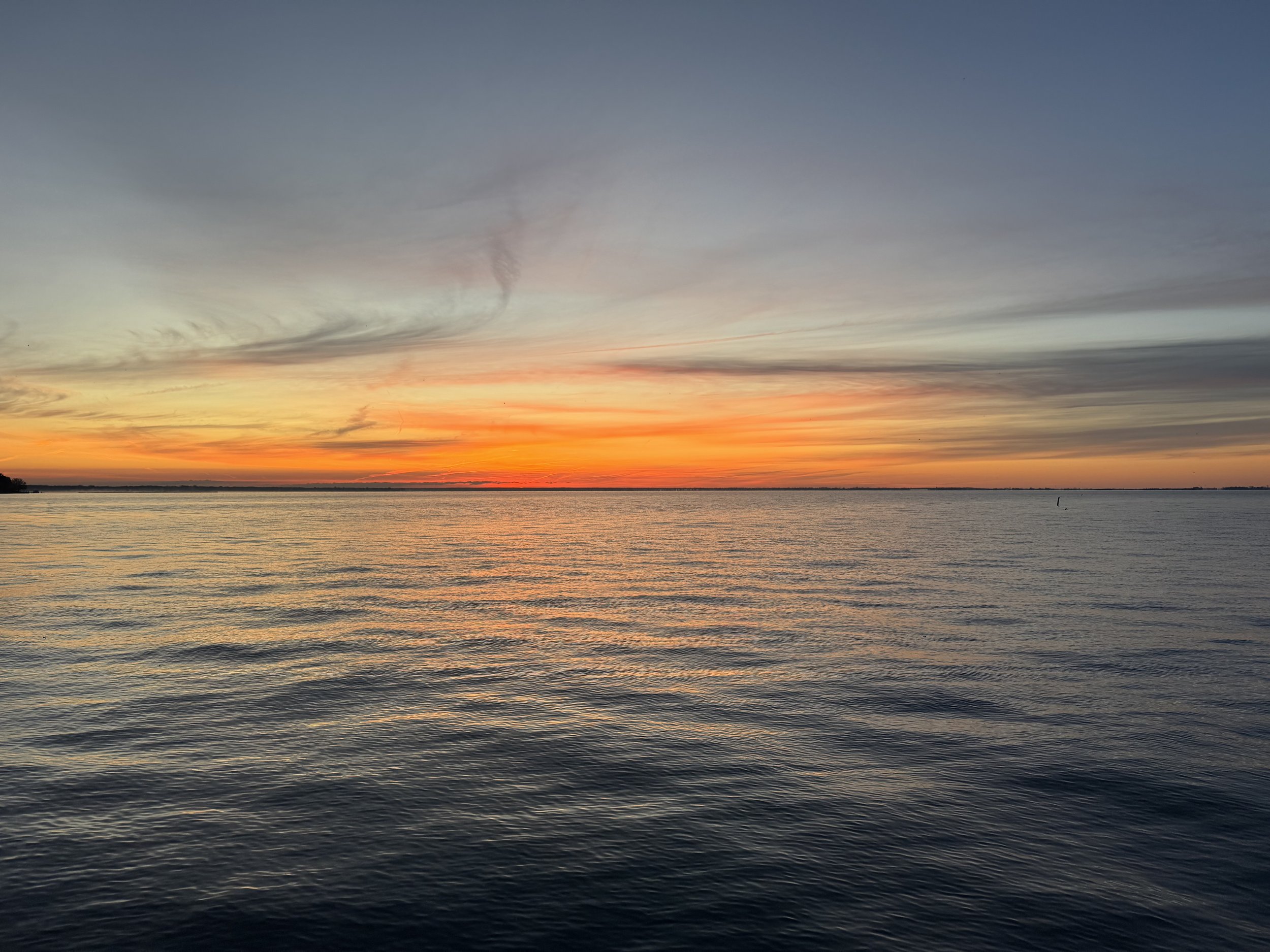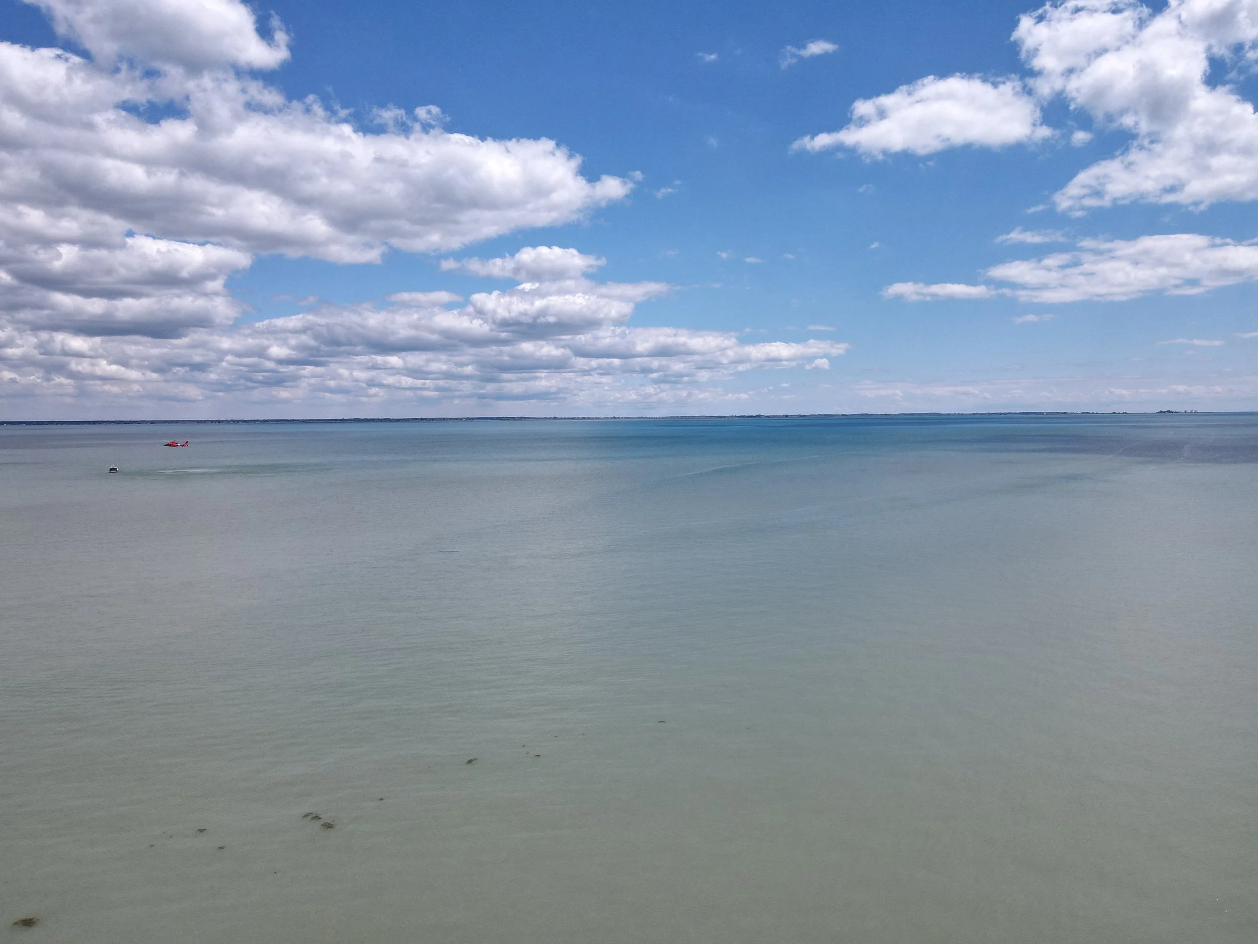

Lake St. Clair
Lake St. Clair is situated about 6 miles northeast of the downtown areas of Detroit, Michigan, and Windsor, Ontario. Along with the St. Clair River and Detroit River, Lake St. Clair connects Lake Huron (to its north) with Lake Erie (to its south).
Lake Saint Clair measures about 22.5 nautical miles from north to south and about 21 nautical miles from east to west. Its total surface area is about 430 square miles. This is a rather shallow lake for its size, with an average depth of about 11 feet, and a maximum natural depth of 21.3 feet. However, it is 27 feet deep in the navigation channel which has been dredged for lake freighter passage. The lake is fed by the St. Clair River, which flows southwards from Lake Huron and has an extensive river delta where it enters Lake Saint Clair. This is the largest delta of the Great Lakes System. Also, the Thames River and Sydenham River flow into Lake Saint Clair from Southwestern Ontario, and the Clinton River flows into it from Michigan. The outflow from Lake Saint Clair flows from its southwestern end into the Detroit River, and thence into Lake Erie.
The tarry time (i.e. the time between entering and leaving) of the water in Lake St. Clair averages about seven days, but this can vary from as little as two to as many as thirty days, depending on the direction of the winds, the water circulation patterns, and the amount of water that is flowing out of Lake Huron. If water flows through the navigation channel, which is maintained by the U.S. Army Corps of Engineers, the time the water remains in the lake is about two days.
This lake is part of the Great Lakes System. Because it is 17 times smaller in area than Lake Ontario, it is rarely included in the listings of the Great Lakes but is sometimes referred to as "the sixth Great Lake".
Public Beaches
The Old Club, on Harsens Island, Michigan
Crescent Sail Yacht Club in Grosse Pointe Farms, Michigan
Grosse Pointe Club (Little Club) in Grosse Pointe, Michigan
Crescent Sail Yacht Club, Grosse Pointe Farms, Michigan[14]
Clinton River Boat Club (Club Island), near Harsens Island, Michigan[15]
Albatross Yacht Club, Anchor Bay, Michigan[16]
North Star Sail Club, on the Clinton River, Harrison Twp, Michigan [17]
Lake Saint Clair Powerboat Club – Saint Clair Shores, Michigan
Lakeshore Sail Club, St. Clair Shores, Michigan[18]
Southport Sailing Club, Windsor, Ontario[19]
St. Clair Sail Club, Belle River (now Lakeshore), Ontario[20]
Thames River Yacht Club, Lighthouse Cove (now Lakeshore), Ontario[21]

Lake St Clair
430 Square Miles